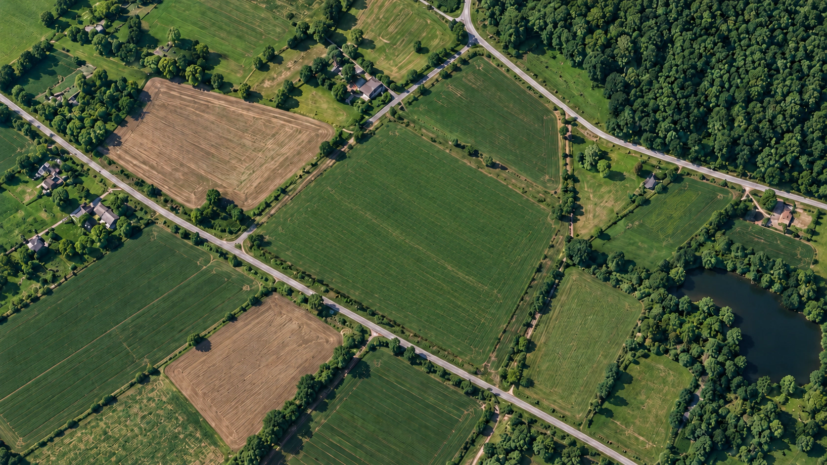
Drop a pin and watch the boundary snap closed.
GpsField helps you measure fields, analyze terrain, plan routes and get accurate insights - all in a few clicks. Designed for professionals who work with real world data.




Accurate Measurements
Reliable and precise
Save Time
Plan and analyze faster
Data You Can Trust
Built for real-world use
Why Professionals Choose GpsField
Save time and work more efficiently with powerful geospatial tools, accurate measurements, and actionable insights - built for the real world.
Millimeter polygon accuracy, even on curved terrain.
Traditional web map tools calculate simple flat Euclidean planar formulas, introducing up to 15% error over large parcels. GpsField runs geodesic geodesy accounting for earth curvature, elevation contouring, and magnetic declination.
Precision Geodesy
±0.01 m² Karney Math
Curved ellipsoidal projection
CAD & GIS Exports
DXF, KML, GeoJSON
1-click legal boundary files
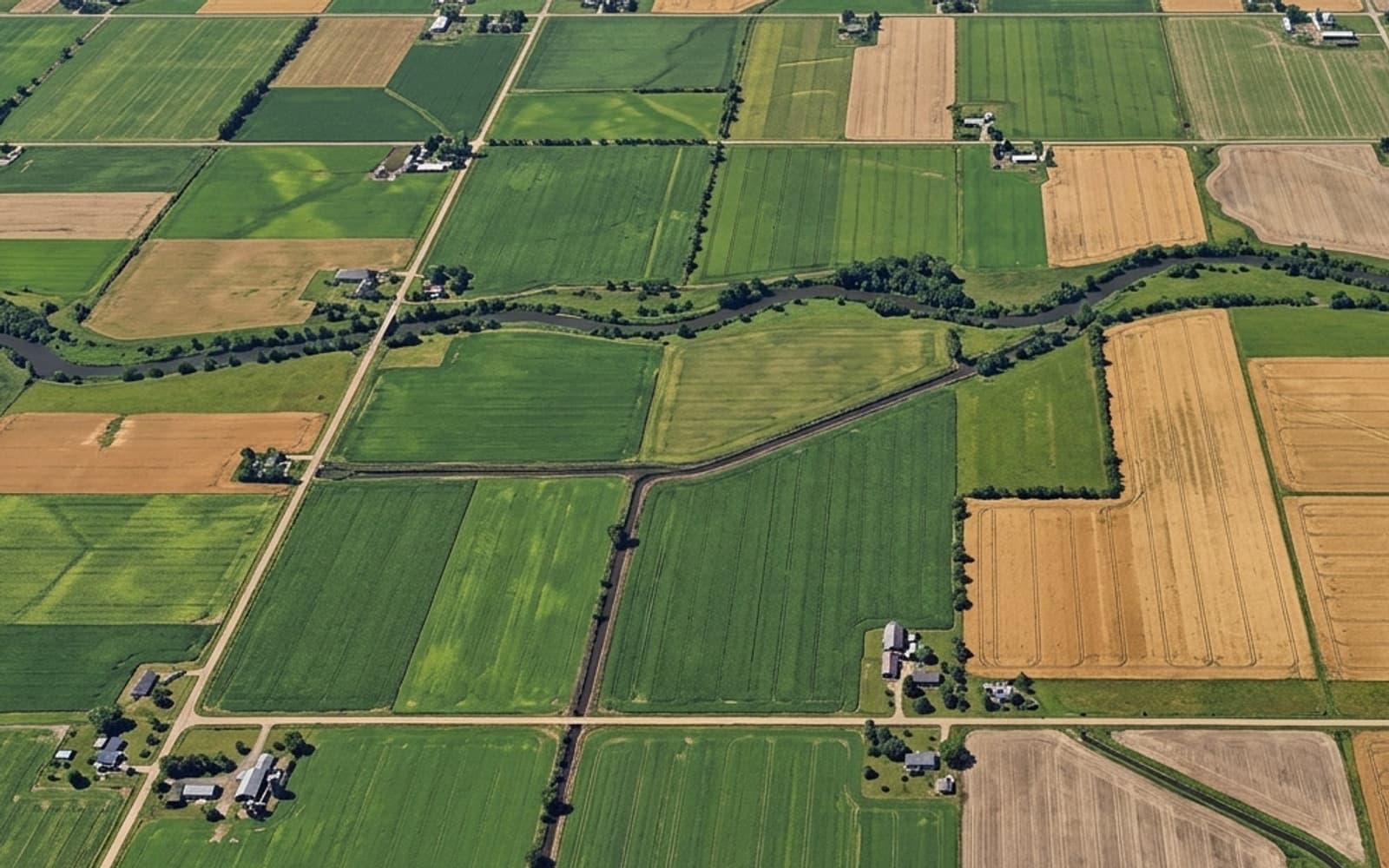
Everything You Need for Fieldwork
A complete suite of tools designed to make field mapping, analysis, and planning simple, accurate, and efficient.
Built for Every Kind of Fieldwork
From measuring land to planning routes, GpsField gives you practical GPS tools for work, travel, and everyday projects.
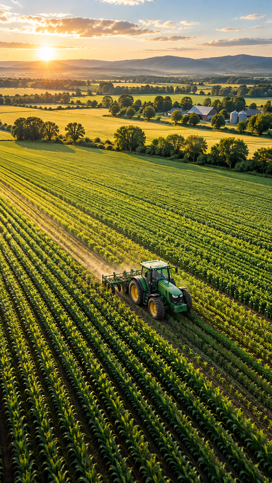
Agriculture
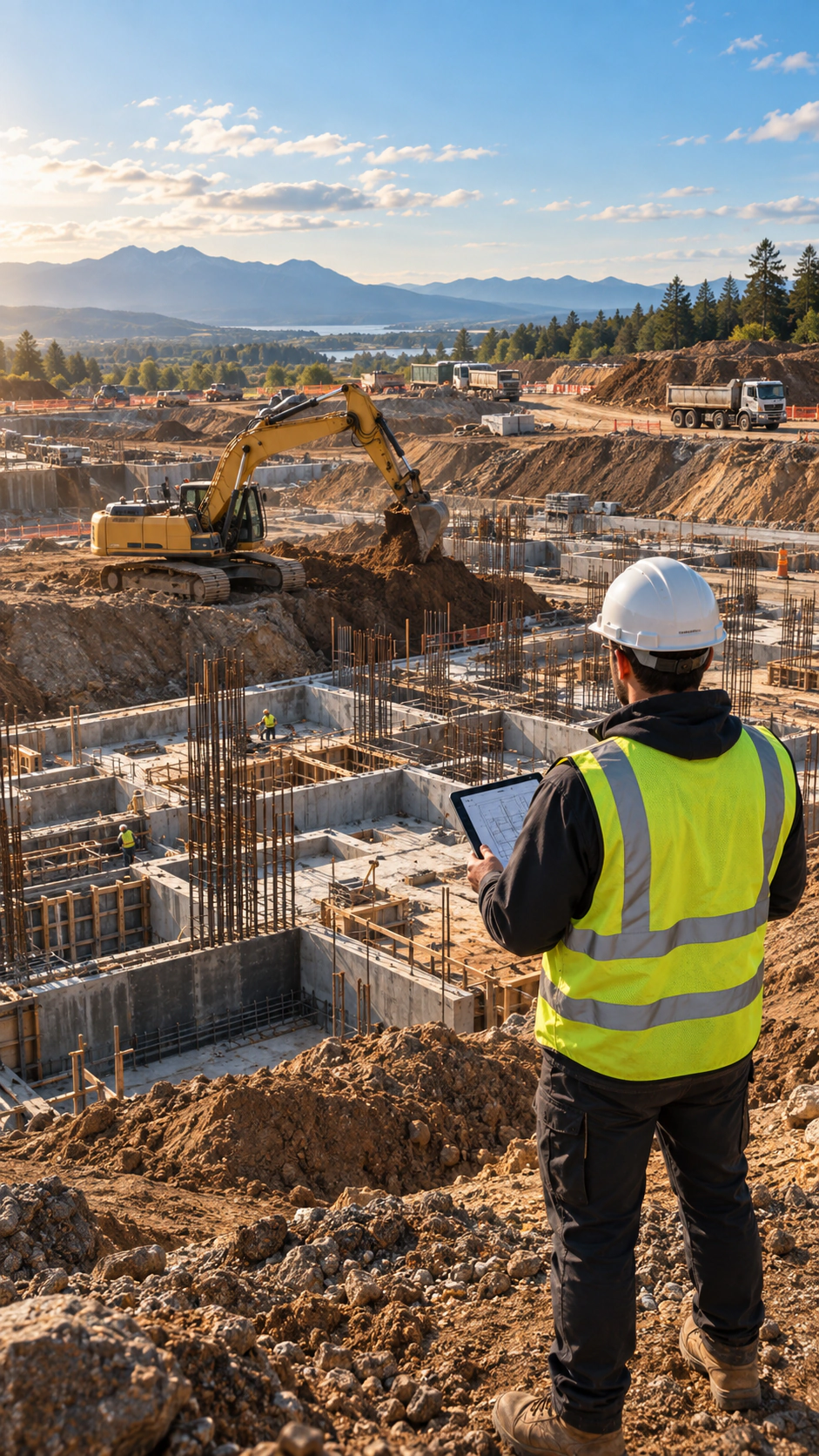
Construction
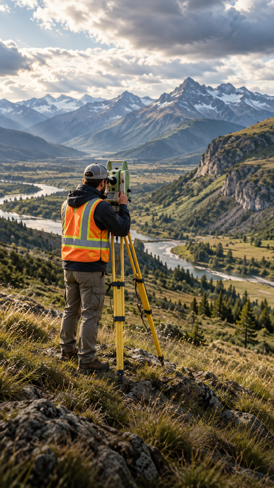
Surveying
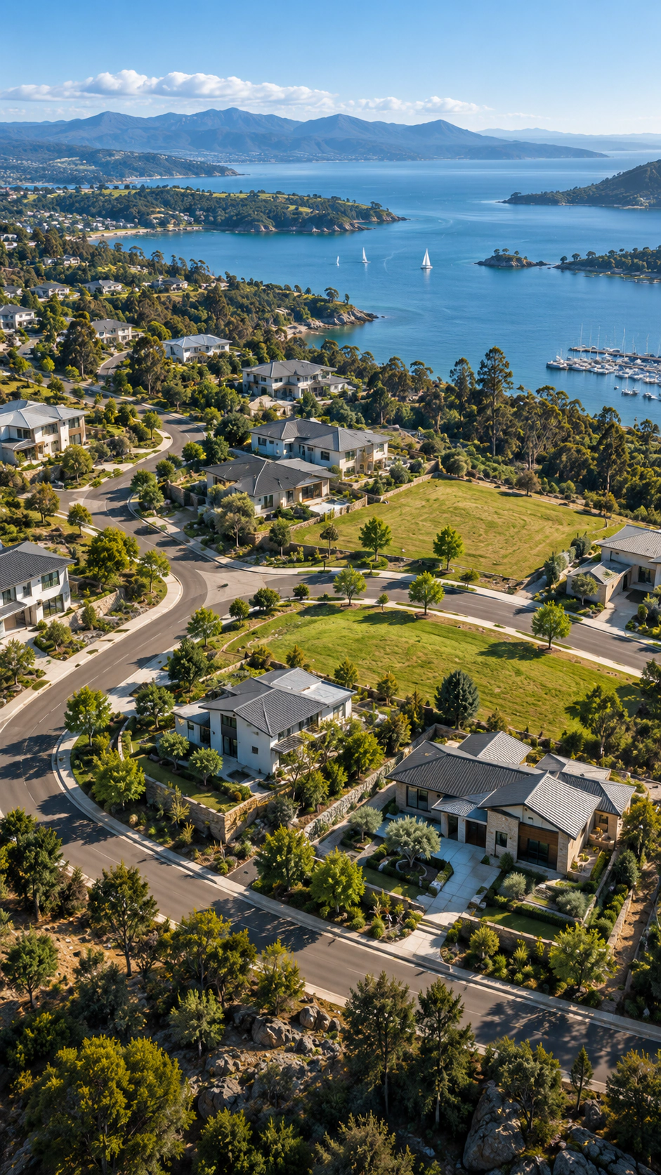
Real Estate

Logistics

Travel & Outdoors
Loved by Field Professionals
See how farmers, land surveyors, civil engineers, and real estate advisors use GpsField every day to measure land and make smarter decisions.

Sarah Jenkins
Agricultural Land Manager, Prairie Crest Farms
Measuring irregular field boundaries and calculating seed density used to take hours on foot. With GpsField, I get instant, accurate acreage right from satellite view with zero guesswork.

David Chen
Commercial Real Estate Advisor, Meridian Group
The ability to pinpoint parcel boundaries and share clean interactive maps with clients has transformed our site presentations. Fast, intuitive, and remarkably accurate.

Carlos Mendez
Civil Site Engineer, Apex Infrastructure
We use the multi-point distance and area measurements daily on active construction sites. The fact that it runs instantly in the browser without bloated software is a huge advantage for our team.

Elena Rostova
Licensed Land Surveyor & GIS Specialist
Geodesic precision and seamless exports to KML, DXF, and GeoJSON make field-to-CAD workflows completely painless. It has become a dependable daily tool in my surveying kit.

Marcus Vance
Environmental & Forestry Consultant
Mapping remote canopy plots and conservation buffer zones offline without losing precision has saved our team hundreds of field hours. The speed and simplicity are unmatched.
Frequently Asked Questions
Got questions about accuracy, offline usage, or file exports? We have clear answers.
Map the World, One Measurement at a Time.
No mandatory accounts. No bloated installers. Launch the full satellite workspace in your browser right now and calculate your land boundaries in seconds.